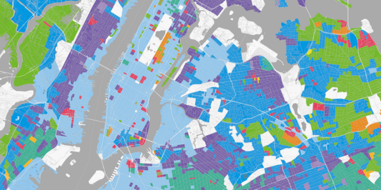
Geographic Information Systems (GIS) have become a crucial tool in real estate, transforming how professionals analyze and interpret property data. GIS technology allows users to visualize and understand spatial relationships, making it easier to assess property potential. Some of the notable tools include QGIS, ArcGIS and Google Earth software that enhance the efficiency of real estate professionals.
GIS focuses on location, a fundamental aspect of real estate. By layering data—such as demographics, land use, and zoning laws—on geographic maps, GIS provides a detailed view of any property or area. This enhanced perspective enables better decision-making and more accurate property valuations.
GIS allows for precise property valuation by integrating various data sources. Real estate professionals can assess factors like proximity to amenities, environmental risks, and market trends, leading to more accurate appraisals. This technology also aids in identifying emerging markets and investment opportunities by analyzing patterns and trends.
Urban planners use GIS to design more efficient, sustainable communities. By analyzing land use patterns, infrastructure, and population density, GIS helps in making informed decisions about zoning, transportation, and resource allocation. This results in better-planned developments that meet community needs while maximizing land use.
For real estate agents and developers, GIS provides a powerful tool for client engagement. Interactive maps and visualizations make it easier to communicate the potential of a property, helping clients make informed decisions. This technology also allows for personalized property searches based on specific criteria, improving the overall customer experience.
GIS is revolutionizing real estate by providing deeper insights into property data, improving valuations, and enhancing urban planning. As the technology continues to evolve, its impact on the industry will only grow, making GIS an essential tool for real


